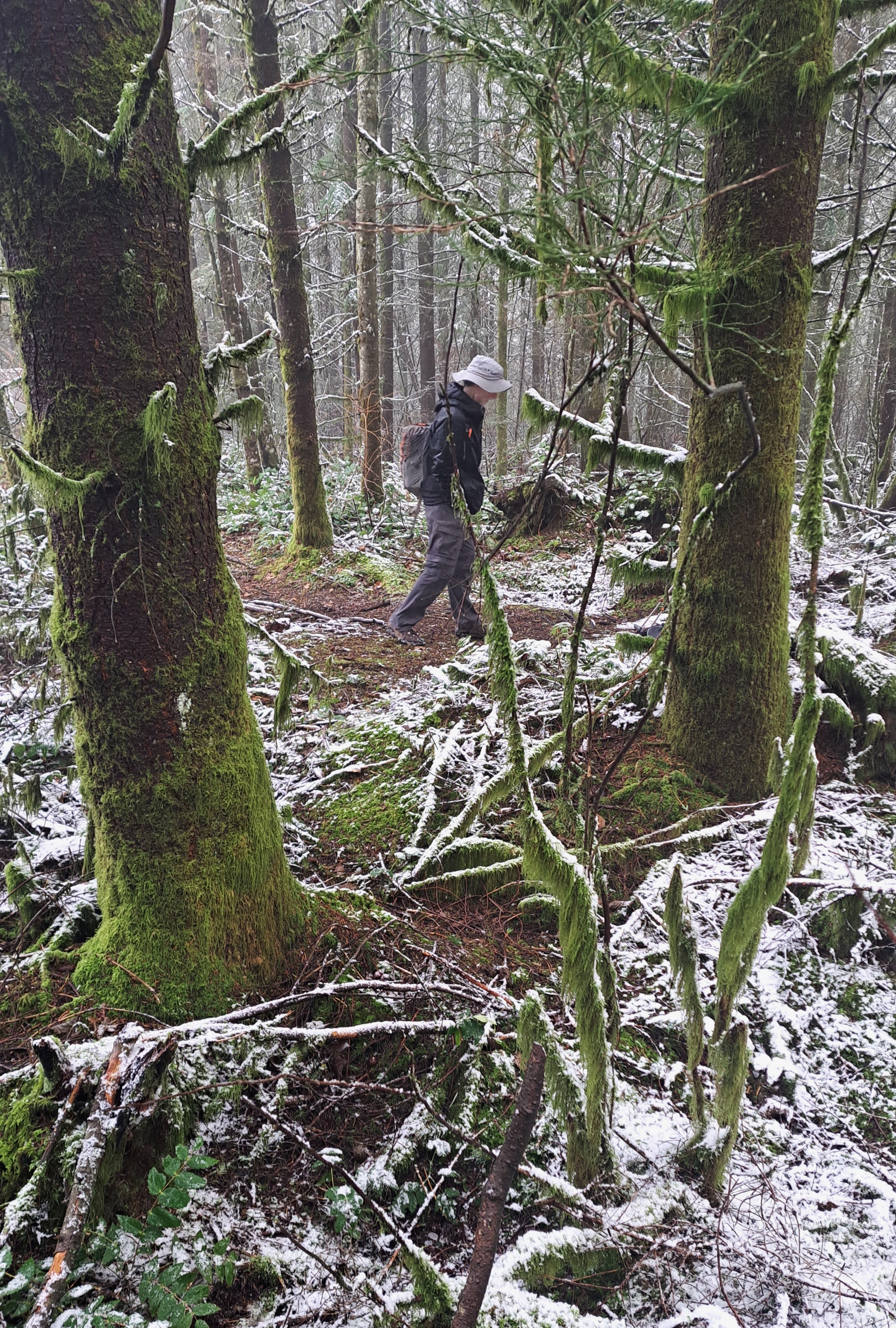
So what’s a little snow and sleet and sub-40 temp when you have an unexpected opening to bag another local summit? Thanks to Keith for joining me today on another hike to a wooded knob that I didn’t even know had a name.
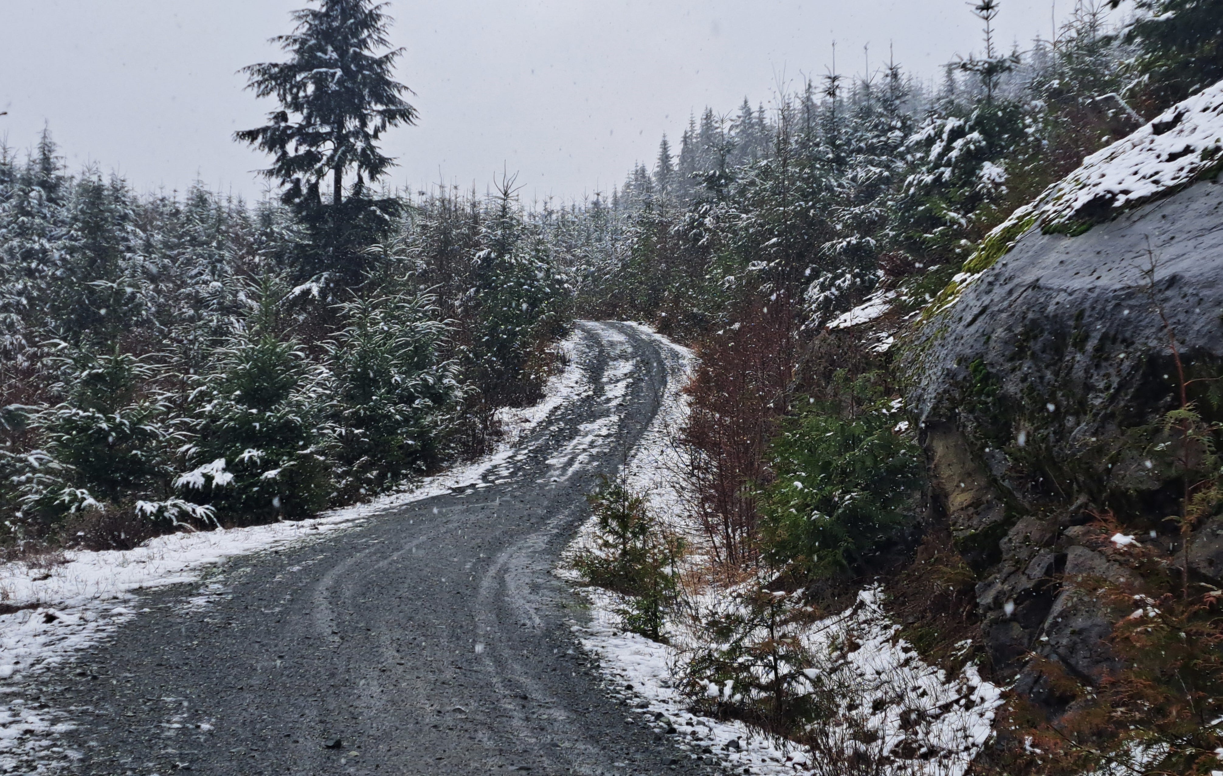
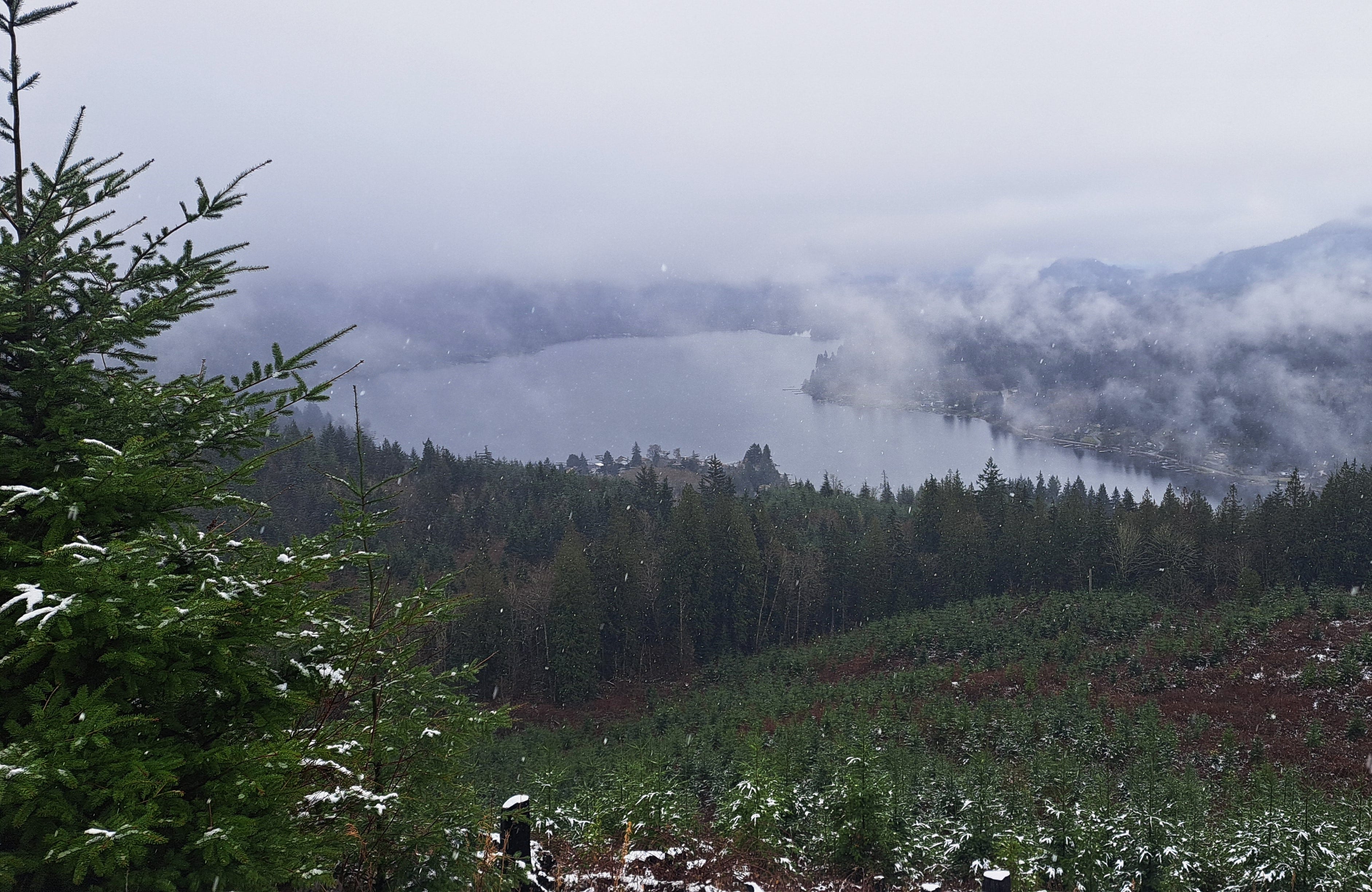
Donat Hill, it’s been called, though not sure why. I suppose we can call it a Chuckanut outlier that rises 1,000 feet above the north shore of Lake Samish. The climb itself is closer to 700 feet in about two miles. We mostly walked the logging roads, plus a bit of unofficial trail near the top. There are good views of the lake on the way, but nothing more exciting than a radio/cell tower at the summit.
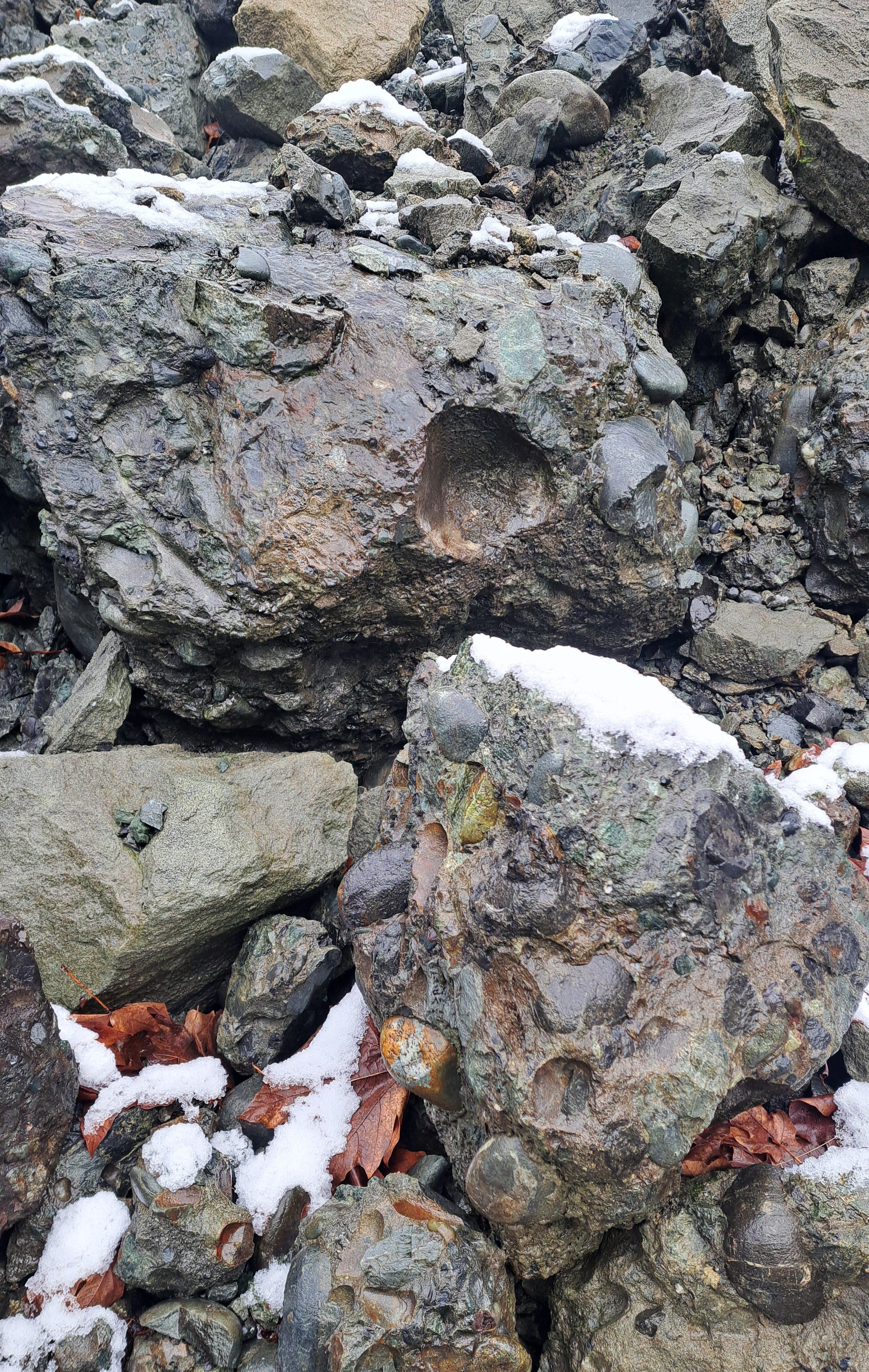
One notable thing is the abundance of conglomerate rock layered in with the sandstone more commonly observed in the Chuckanut Formation. The rock is often visible along the road cuts and at a quarry we circled around to after claiming the summit. Bedrock and boulders were riddled with rounded cobble and coarse gravel-sized rocks that had obviously been deposited in a riverine environment tens of millions of years ago. Glacial striations are also visible at various locations where bedrock is exposed.
We noted a web of mountain bike and motorbike trails in the woods and recently cutover areas, so much exploring is possible. The sign at the gate on Lake Samish Drive (a little north of the gas station at the North Lake Samish I-5 interchange) suggests such use is not allowed, but might be tough to enforce. Boots are cool, however.
Fun to visit a new local high point—#66! And we saw no one else in the 2.5 hours it took to saunter up and back.