

Finally, my glass is half full. It’s taken till mid-September, but I’ve officially crossed the halfway point on my 70 Summits journey. I burned 7.5 months to reach the milestone, leaving just 4.5 months to wrap up, and a good chunk of that will be wintertime. Can he do it? Thirty-five more by the beginning of February? Who the heck knows!
I had Saturday free and was determined to find a good hike that could afford two summits and get me to #35. Teanaway River fit the bill. After leading a Seattle history tour on Friday, I aimed for the hills east of Snoqualmie Pass and camped off a forest road. It’s been at least 30 years since I was up this way, always to climb Stuart Mountain, one of Washington’s highest peaks that isn’t a volcano.
My best memory from the area, in fact, is being chased off Stuart by a pretty intense thunderstorm. It was an epic day for sure. I’ll post something on it later.
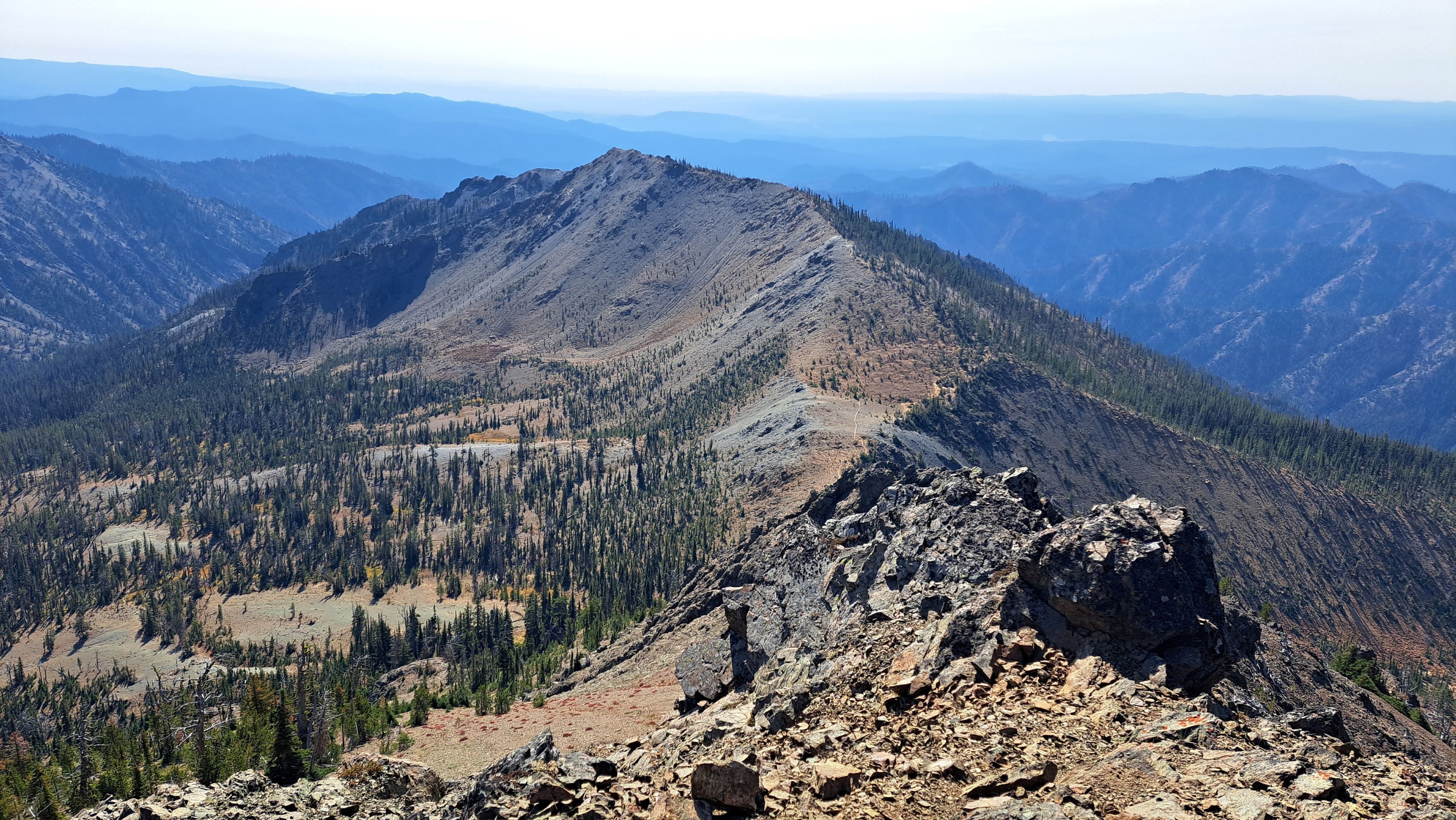
For now, I was eating cereal in a cup at first light, and on the trail a short time later. The three-mile hike to El Dorado Pass within the Alpine Lakes Wilderness seemed to go quickly and again I was alone. However, a trail running race was likely to bring me some company later.
From the saddle, a right turn took me south and up the gentle ridge to the summit of Iron Peak. A curious swarm of bees there suggested I keep my visit short. Fortunately, they were not in the biting or stinging mood, so I grabbed a couple photos and retraced my steps to the pass. I had to stop several times to admire the excellent view of Mount Stuart, wondering which gulleys my buddy Jack and I had descended on that memorable stormy day way back when.
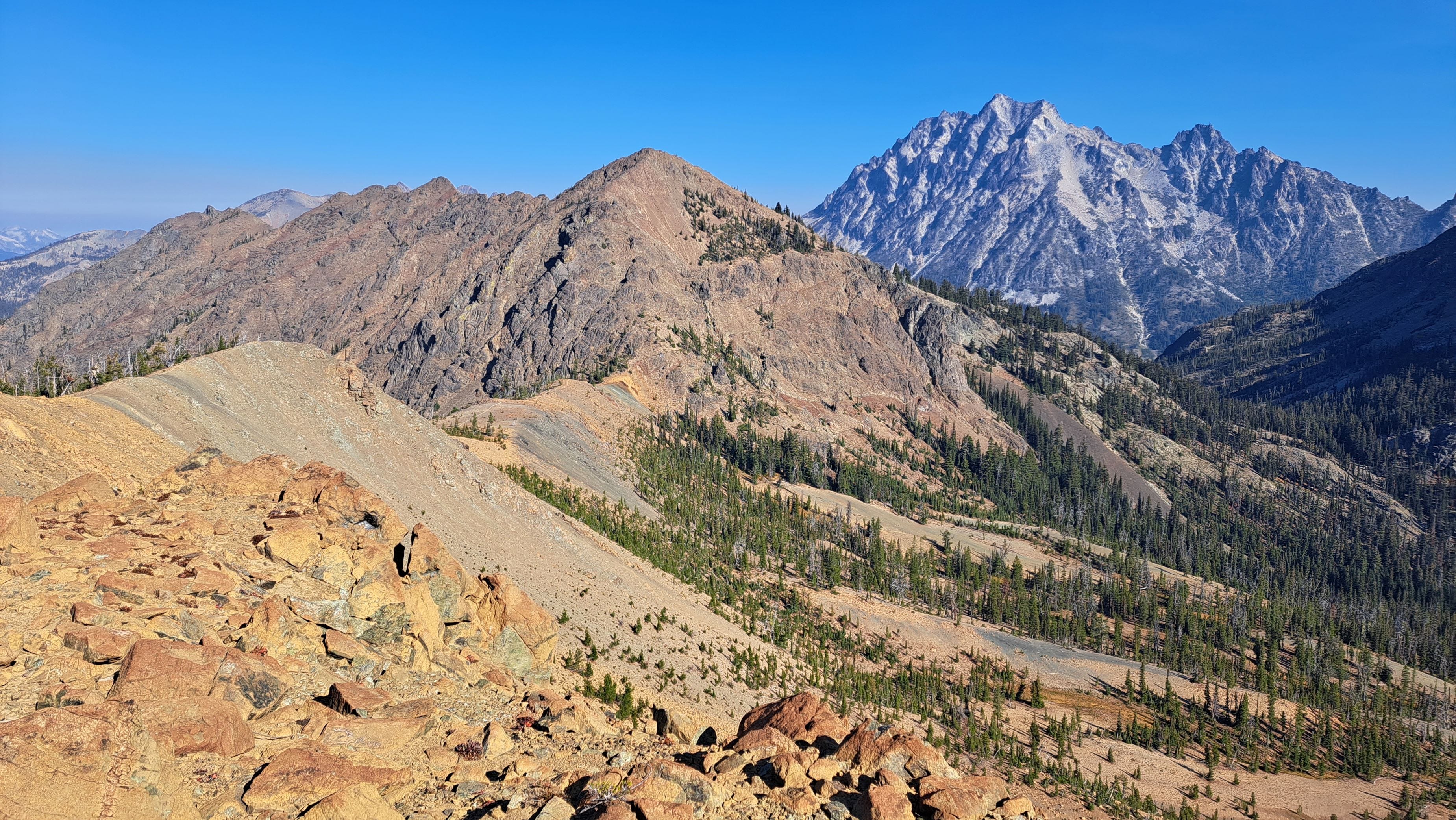
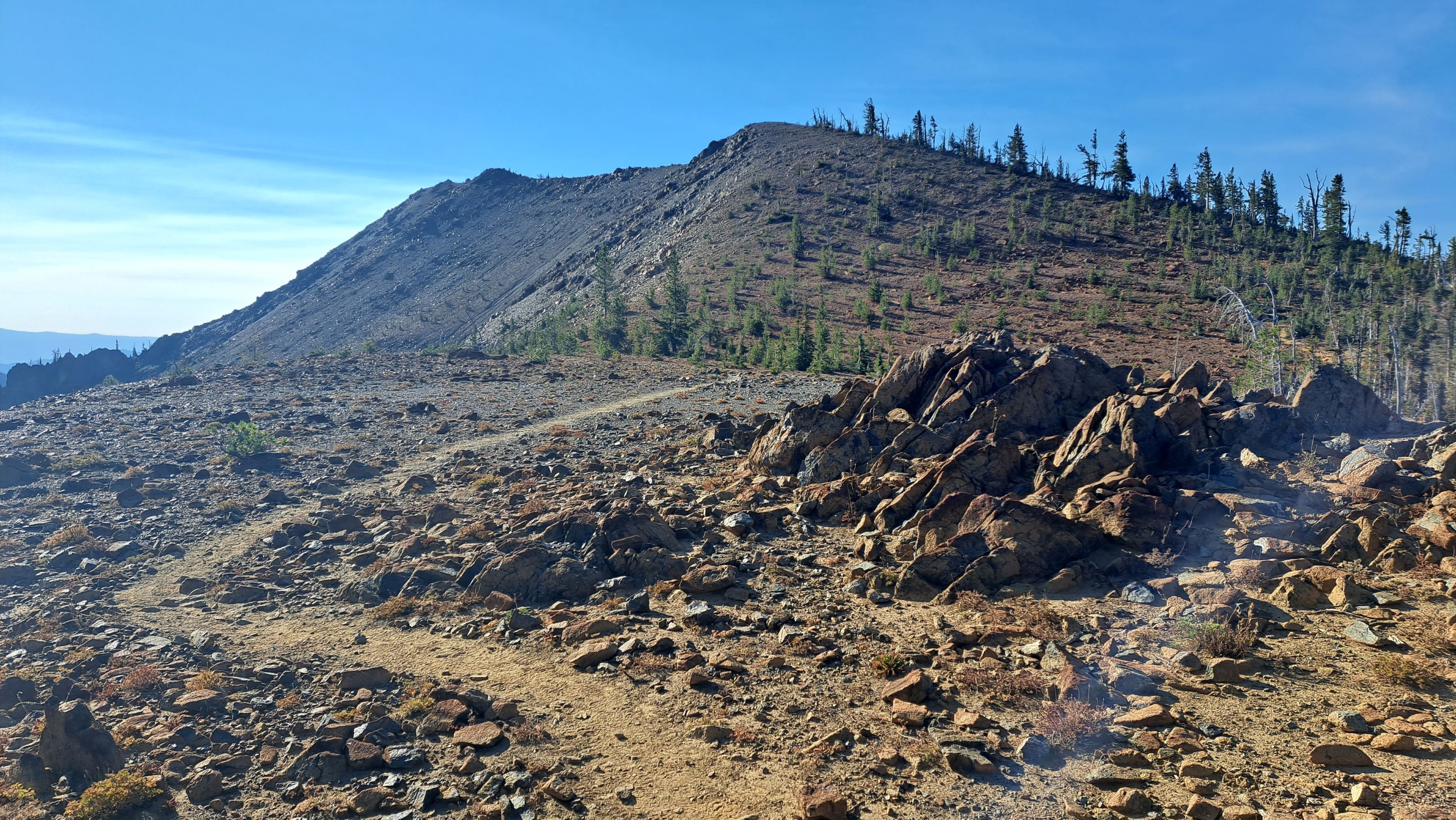
From El Dorado Pass, my next trot was to the north, a steep one up Teanaway Peak rising just 600 feet above the pass. Slabby rock and loose gravel required some extra care, but the scramble weaved nicely through the rocks, up a scree slope, and onto the summit just 35 minutes from the pass. I savored the view back to Iron Peak, and looked over at Stuart Mountain again, thinking I’d love to get back up there while the knees are still good. Next summer?
When I returned to the saddle, the trail runners began to show up. They were on a mission, of course, and there was no time to chat. I guess I was also on a mission, so I enjoyed a snack and soon headed back to the truck.
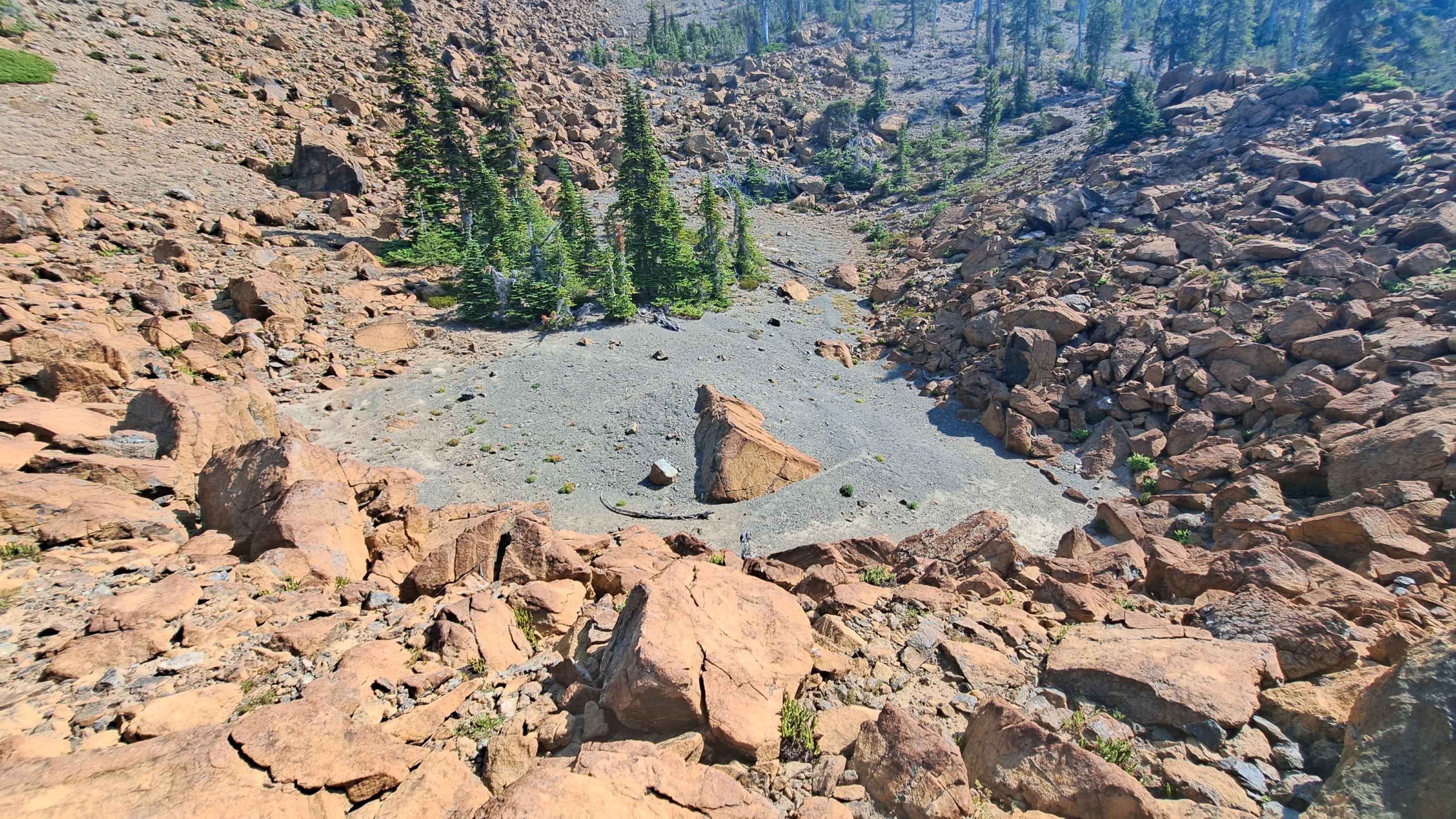
En route, I stopped to explore a large, odd-looking crater in the midst of a boulder-strewn slope. The boulders were reddish dunite, the same rock type we find in the Twin Sisters Range east of Bellingham. That in itself was quite enthralling to this non-geologist, but the crater-shaped landform is what really got me. Could a rock slide produce this? An alpine glacier in a prior millennium? A meteorite? Surely, someone has studied it by now. I’ll have to do some digging and see what I can find.
That aside, I was now halfway through my quest. So I suppose it’s all downhill from here, right? Or is it uphill?