Let me explain.
At the southwestern edge of the Alpine Lakes Wilderness east of Seattle, a subrange of peaks rises a mile high—a mile above sea level that is, or 4,000 feet above the ribbon of I-90 whistling Dixie below. The area is known for its copious lakes, flowering meadows, large talus fields, hikable summits, excellent views, and an extensive trail system to get you there.
Among the higher summits is Mount Defiance, topping out 5,584 feet. Conjuring my next summit hike, I decided the mountain was calling, as they say, and I must go. But with all those easy summits scattered along the main ridge system, surely I could bag a twofer, right? I gotta beat feet if I’m gonna reach my goal of 70 this year.
After looking at various trip reports on the beloved Washington Trails Association website (wta.org), I decided to add Putrid Pete’s Peak to my itinerary. Yes, Putrid Pete, and I have no idea why, although I have suspicions.
The peak, we know, is named for Pete Schoening, a legendary mountaineer from Seattle best known for “The Belay.” In August 1953, during a storm at 25,000 feet on K2, a team of seven climbers were lowering an eighth, Art Gilkey, down a steep, icy slope where a slip could be lethal. Gilkey was suffering from a blood clot in his leg and needed to get down. Then one of the climbers slipped.
The climber pulled his rope partner off his feet and as they tumbled, the ropes tangled with the others and all were falling and on the verge of plunging to their deaths. Yet the last man above, 26-year-old Pete Schoening, immediately planted his ice axe, dug in, and exerted the most famous belay in mountaineering history, stopping the fall of all seven climbers. Ironically, Gilkey disappeared shortly afterward, with speculation that he untied his rope and let himself go, so as not to put everyone else at any further risk. His remains were found forty years later.
As for the “putrid” part, I can only guess that Harvey Manning may have had some inspiration on that. Having a little fun, he named a nearby high point “Dirty Harry’s Peak” for a local logger working up on the mountain. (He also coined the name “Issaquah Alps” to drive interest in conserving the foothills outside Seattle.) Harvey, of course, preferred his trees to remain upright. I can imagine Harvey or someone else with a similar humor gene rolling “Putrid Pete” off the tongue in a lighter moment. As I said, I really have no idea, and a quick google search gave me no clear answer.
The only potentially putrid thing about Putrid seems to be the “trail” getting up there. I was warned. It’s steep. Storm King Mountain steep, but without the ropes. It sounded great. From there, a ridge leads east a mile to Mount Defiance, so there was my plan.
I arrived at the Ira Spring Trailhead well before 12:30 yesterday afternoon. In fact, it was only 12:22 pm, so an almost bright-and-early start. My nine-mile loop required a total gain of a bit under 4,000 feet, so six hours, including breaks, ought to suffice. By 12:30, I was clacking my poles and on the trail.
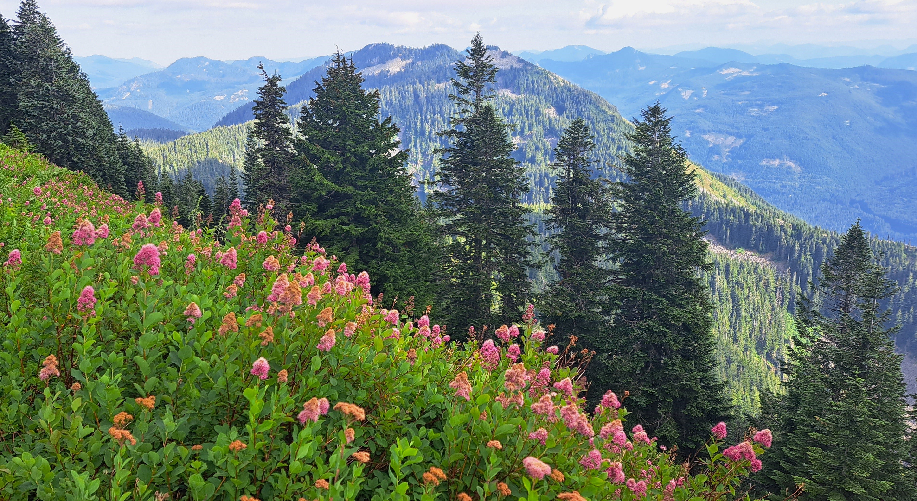
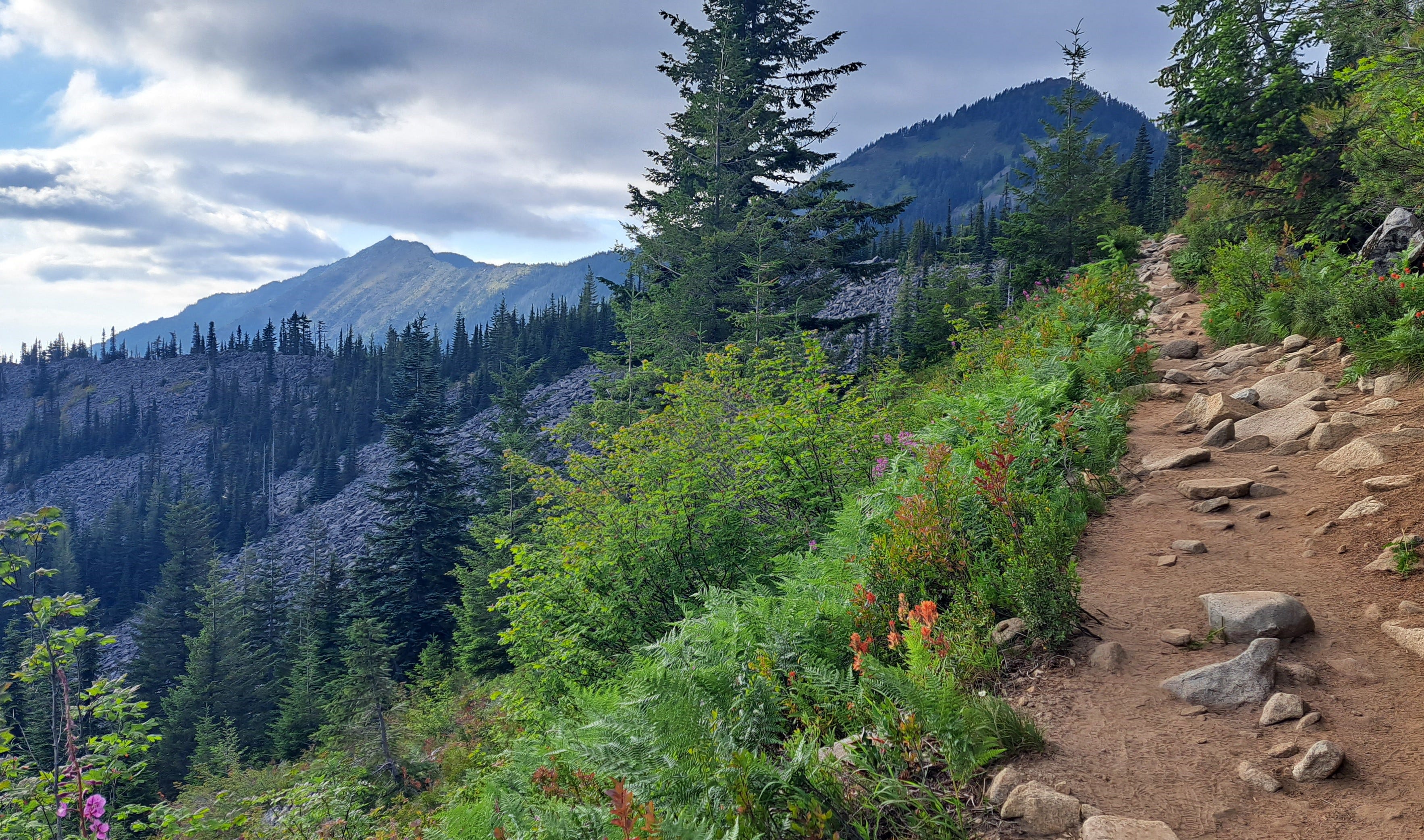
You can research the unofficial trail to Putrid Pete’s, so I won’t go into it here. Let’s just say it starts easy, then gets steep in the woods, then very steep, before getting even steeper below the short, class 3 summit crag. At 3:02 pm, after 3,000 feet of upness I was on top—and no bugs the entire way! The view was splendiferous, of course, and I got a good look at the next leg over to Mount Defiance.

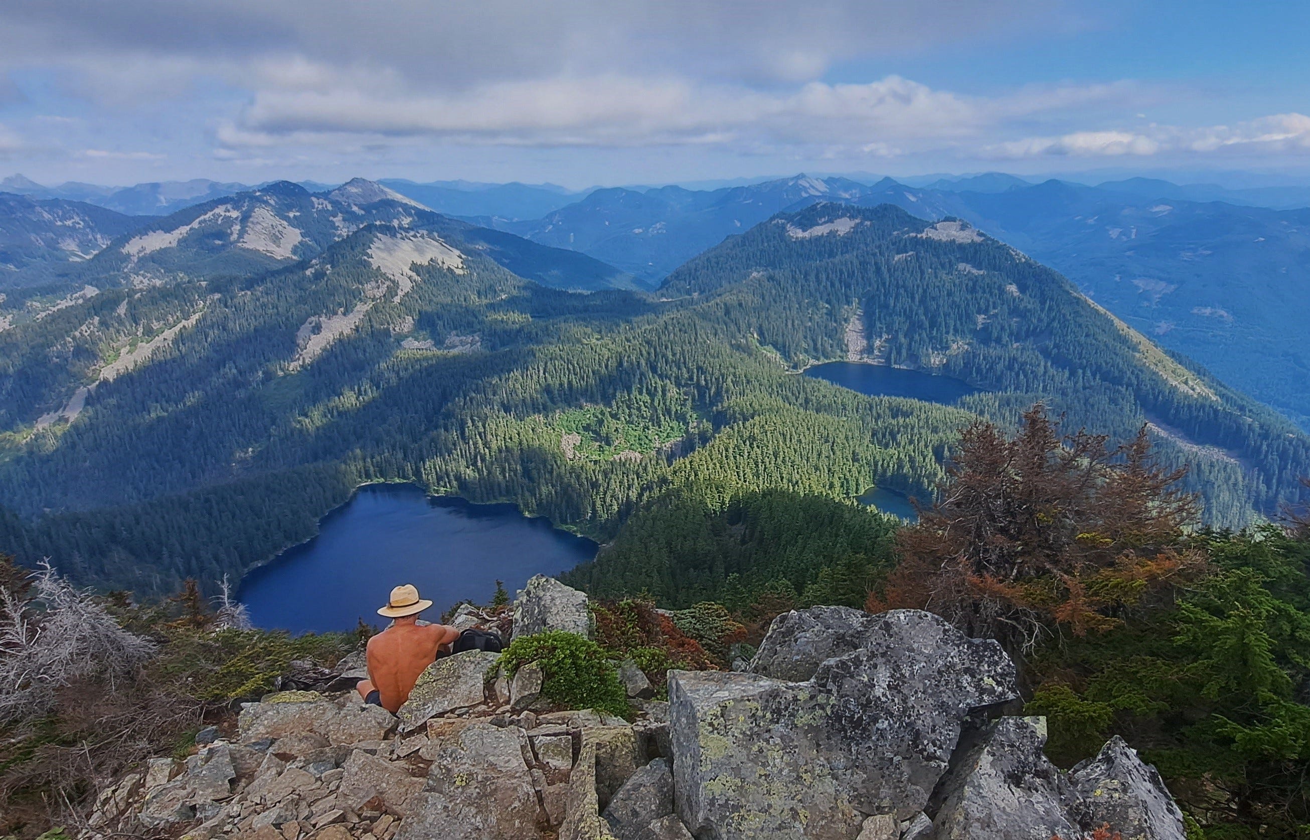
A sketchy boot path led that way, mostly easy going with some light scrambling. I met the Mount Defiance Trail after a mile or so and was on my second bugless summit by 4:30 pm. I had not seen anyone up to this point, though a shirtless fellow arrived behind me, a little bummed that he couldn’t see Glacier Peak for all the puffy white clouds. I’d enjoyed so many good looks at Glacier over the past weeks, that I hadn’t even noticed. Mount Rainier, however, poked her scalp just above some clouds to the southwest.
Recent hikes had taken me to some great vantage points north of the Alpine Lakes Wilderness, so it was pretty nice to see it all from the opposite direction, in an area I’d barely visited. I savored the light breeze, finished off my second PB&J and headed down.
The high country was awesome with wildflowers and wide views of mountains, meadows, bright talus fields and lakes. I almost reluctantly marched downward into the forest, soon reaching a junction with the Ira Spring Trail. I passed a few campers swimming at Mason Lake, then hiked over a low ridge where I stumbled on the memorial plaque to Ira Spring.
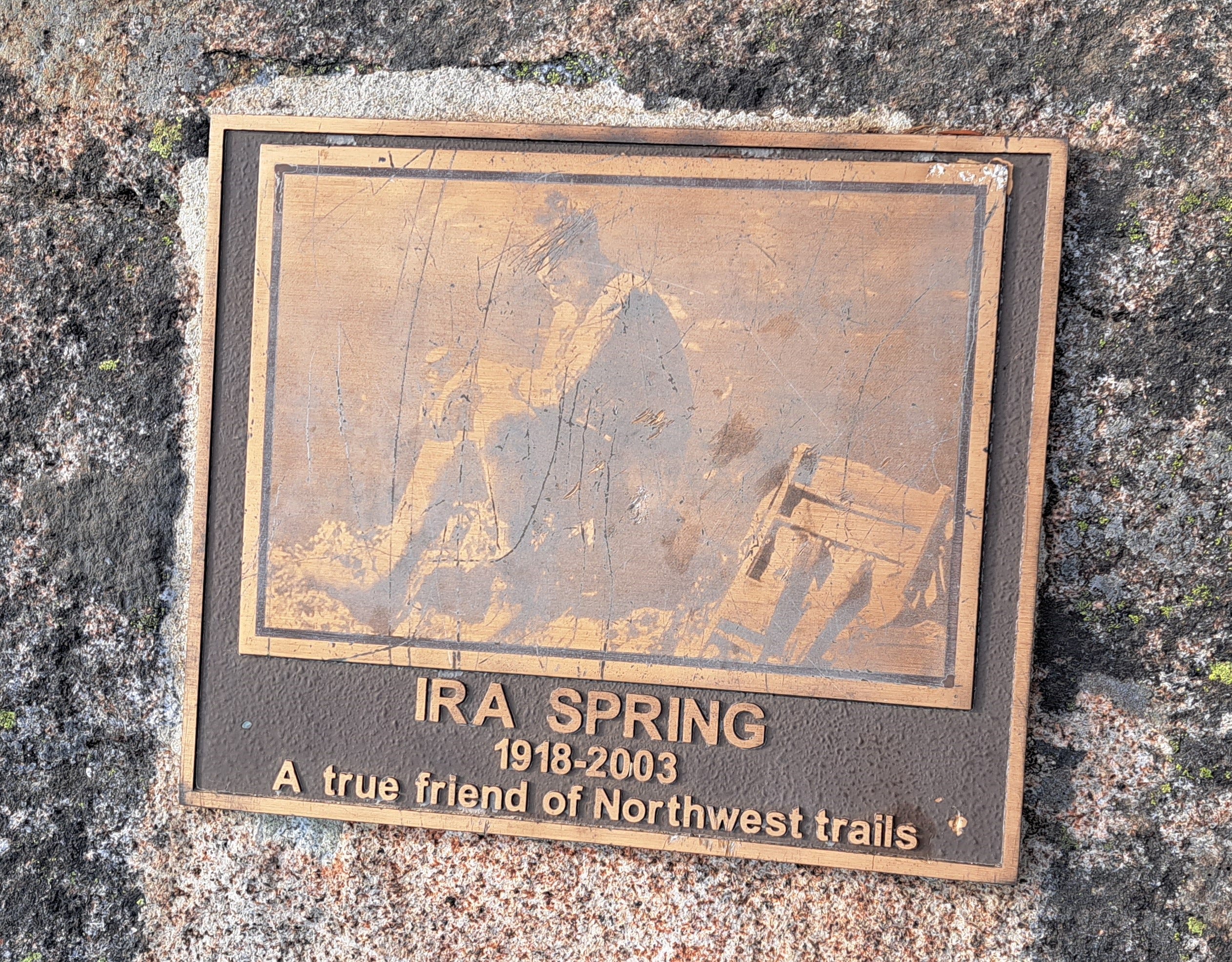
Along with Harvey, Ira inspired the stewardship of countless trails and the preservation of wild places going back to the 1960s. The two conspired for years publishing guidebooks to not only help people find these gems, but to further inspire the preservation of wilderness. They succeeded on both accounts. I expressed some gratitude to Ira, and continued down, reaching the truck after seven fine hours on the trail.