Wow. McKee Peak. I had no idea.
Not even an hour from home in Bellingham, today’s destination led me to some wonderful trails near Abbotsford, B.C. Not sure how I missed them all these years. Blame it on the border, I suppose, and the fear of long backups. But that’s not usually an issue in winter. And since lower B.C. indeed has a ton of great winter hikes, I finally made it a point to hike up the not-quite-towering 1,535-foot McKee.
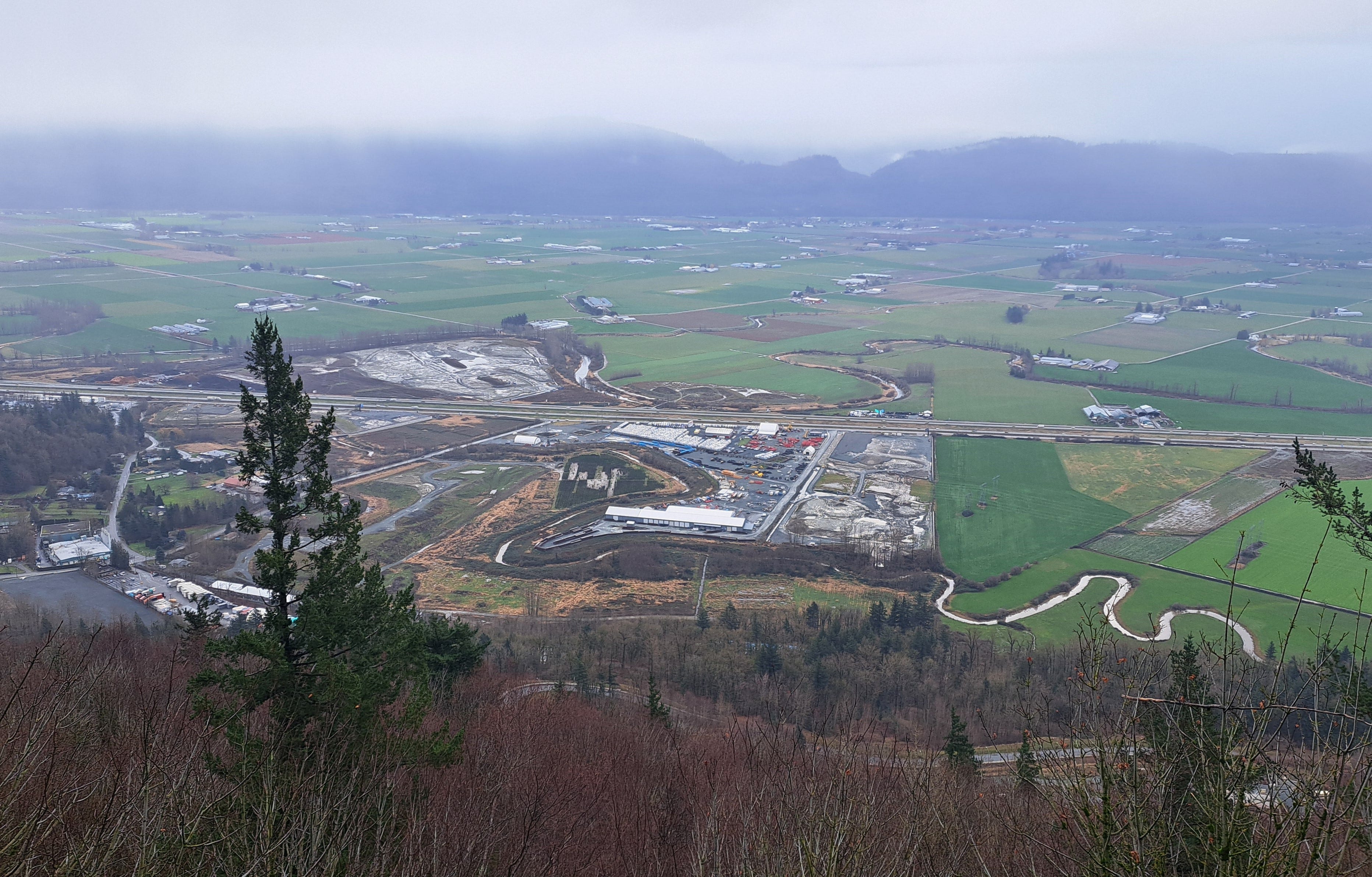
I left home at 10:30 am and was at the “Lower Sumas Mountain Park” trailhead on Sandringham Drive at 11:25 am. There’s plenty of shoulder parking immediately east of Whatcom Road. The trailhead, by the way, is only ten minutes from the Sumas border crossing. (There’s also a north trailhead off McKee Road that apparently gets a lot of local use, although a No Trespassing sign is posted there.)
The summit of McKee Peak is nothing too special, but some of the trails leading up it are fabulous and offer excellent views. If you’re a Bellinghamster like me, think Rock Trail at Larrabee State Park in the midst of Galbraith Mountain, but without the signs and maps to guide you. So you will definitely want a GPS app on your phone (I mostly use Gaia and AllTrails), and plenty of battery.
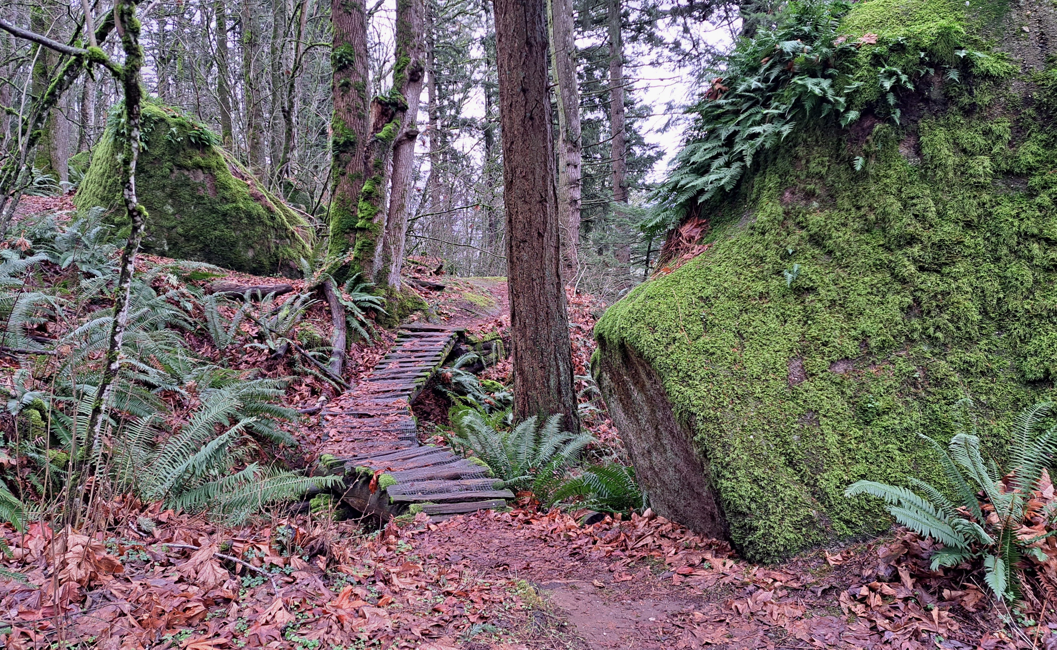
Except for a few slippery bridges and steps, the trails are generally in fine condition, with lots of little ups and down, in both young and maturing forest. Some paths run close to the edge of sandstone cliffs so you might want to keep the kids close. A few short sections can be quite steep, but I had no problem cruising along with trekking poles.
There are a ton of mountain bike trails on McKee Peak, but much of the area is totally hiker friendly as well. Just keep your head up and be ready to step aside as a courtesy if a bike approaches. That said, I only encountered two cyclists today and maybe 15 hikers, including a cute crew of 3 to 5 year-olds, plus two wiener dogs.
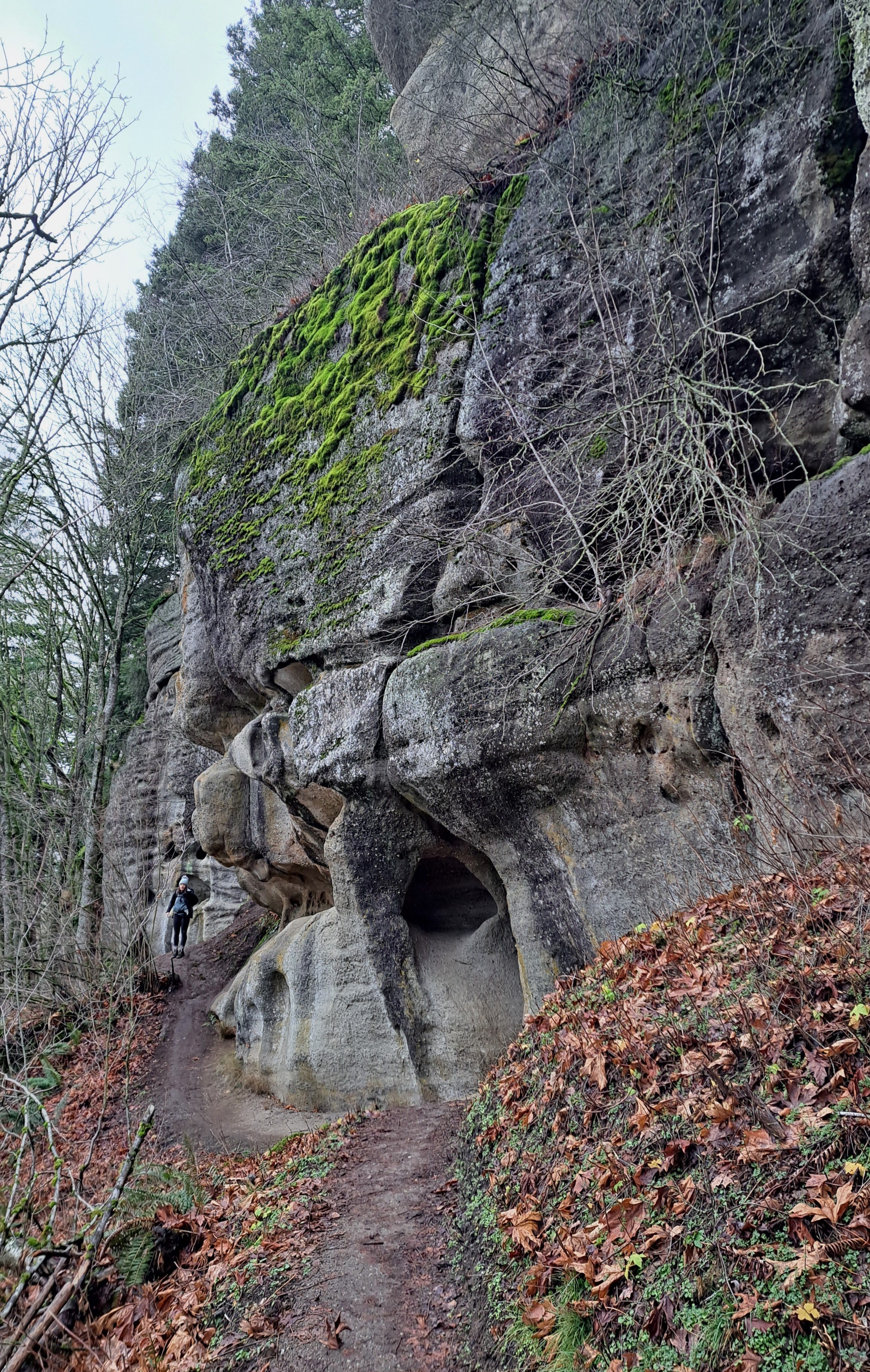
The gravel path at the start is obvious. I followed it up and under a transmission line, across a minor road, then northwest-ish another 0.2 mile to a sharp right on the Autobahn Trail. I did not do the suggested loop on the AllTrails app, and instead worked my way up to the Upper Ambidextrous Trail and the Thunderbird Caves. Grottos, tafoni holes, ledges and bulging cliffs might be a more accurate description than caves, but quite scenic nonetheless. The rock is predominantly part of the Huntingdon Formation, similar to our Chuckanut sandstone but a little younger.
There are a lot of different options you can take to reach the top, but I ended up on the Flintstones Trail to Hidden Valley and Mike’s Trail. Both GPS apps include trail names and viewpoints, but trail locations are not 100 percent accurate. You’ll need to keep tabs on your location so you can backtrack if needed. Someone reported not long ago that they got disoriented late the day and spent an unplanned night on the mountain. There were also a few harmless bear sightings last summer, but that’s kinda par for the course in lower B.C.’s smaller mountains.
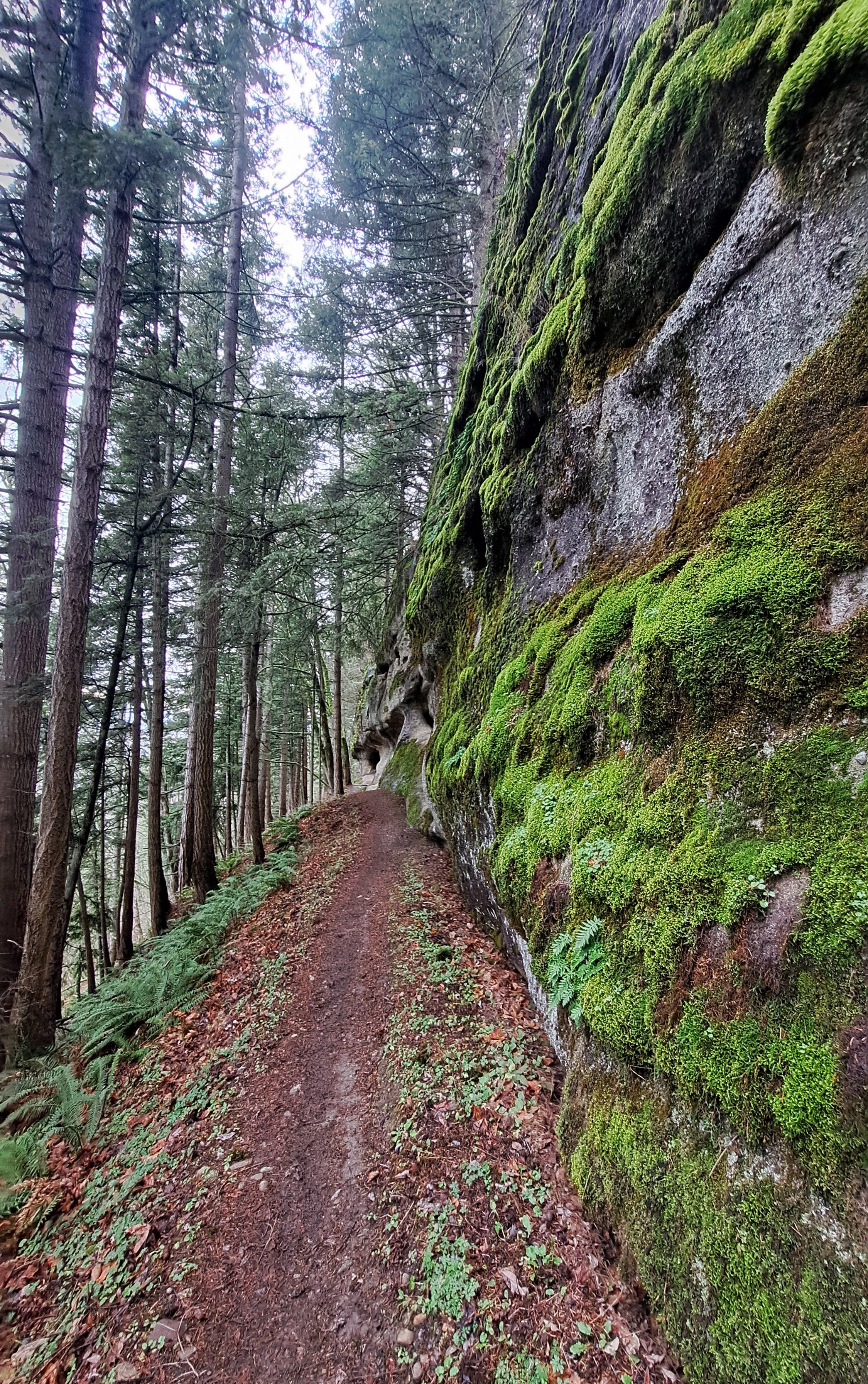
Off Mike’s Trail, you’ll find a large, gently sloping field at around the 1,400 elevation contour that offers a big view to the west. From there, it’s a quick walk to the summit (my 63rd). I met the two cyclists there, Gary and Chuck, who obviously know the mountain well. I asked about a good route down to complete a loop. Gary insisted I try the Xcellorator Trail, which I did. Great trail, often along the foot of high mossy rock walls.
My total round trip was about five miles with an elevation gain of around 1,200 feet, completed in a leisurely three hours. I was back home before 4:00 pm. Good to have #63 in the bag. The forecast is calling for snow and a deep freeze to hit later next week, so I’ll be off to Canada again tomorrow for hopefully two more high points. Sure am lovin’ these new-to-me adventures north of the border!