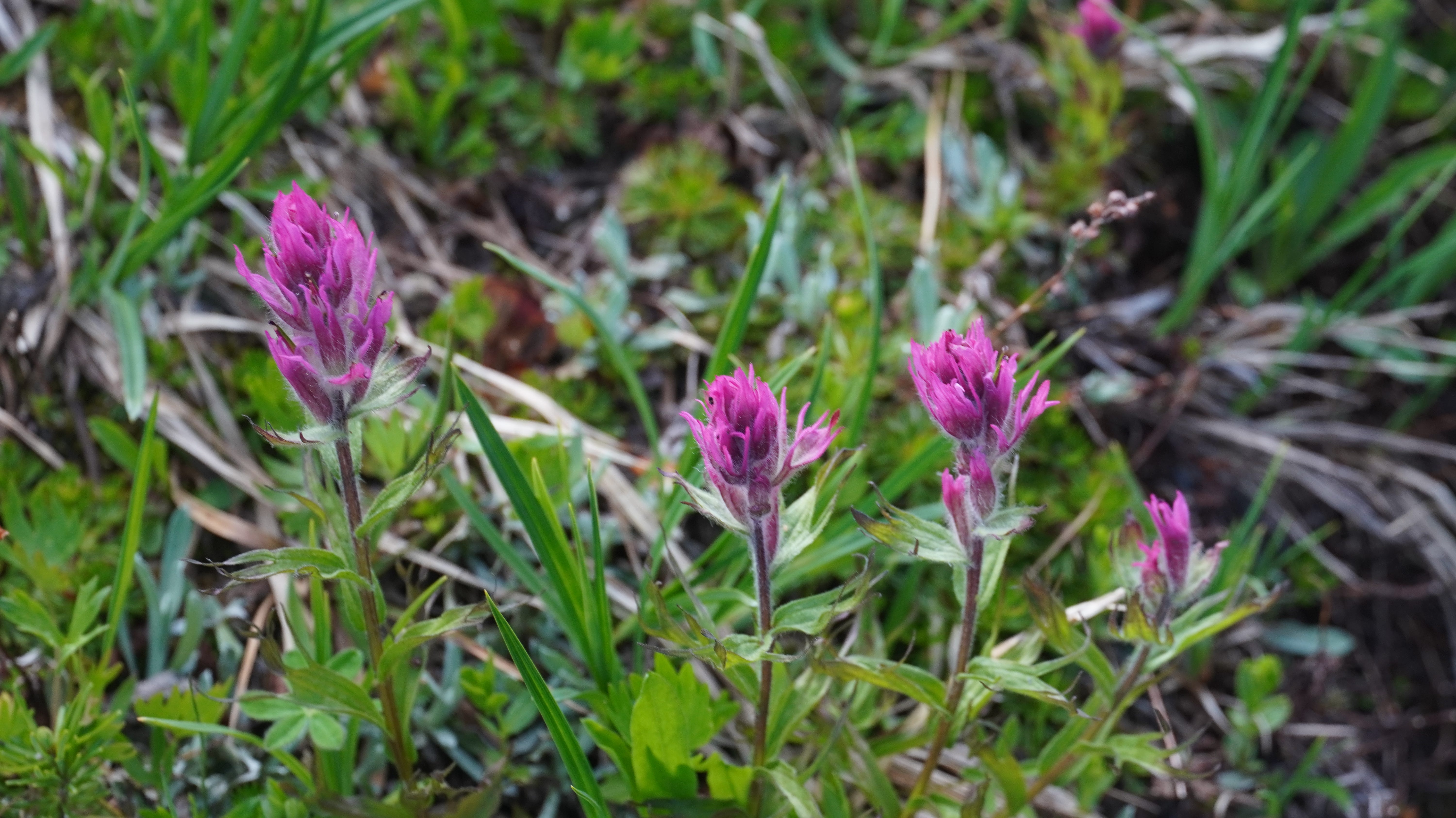
By early morning, Jim and I had crawled from our tents to find that the dreary fog from Day One had shriveled away entirely. It was one hundred percent blue sky in all the cardinal directions. Even half-awake, the routine is easy and familiar: relieve the bladder, retrieve the hanging food bag, boil water, make coffee.
The day ahead was going to be a fun one and we were fed, coffeed and packed before 8:00 am. It was only three-quarters of a mile and a 500 foot gain to the little pass between Mount Townsend and the stony ridge leading out to Welch Peaks. The view was superb. We could not yet see our next destination, Silver Lake, hidden in the shadows, but the two peaks I was focused on were plain as the day.
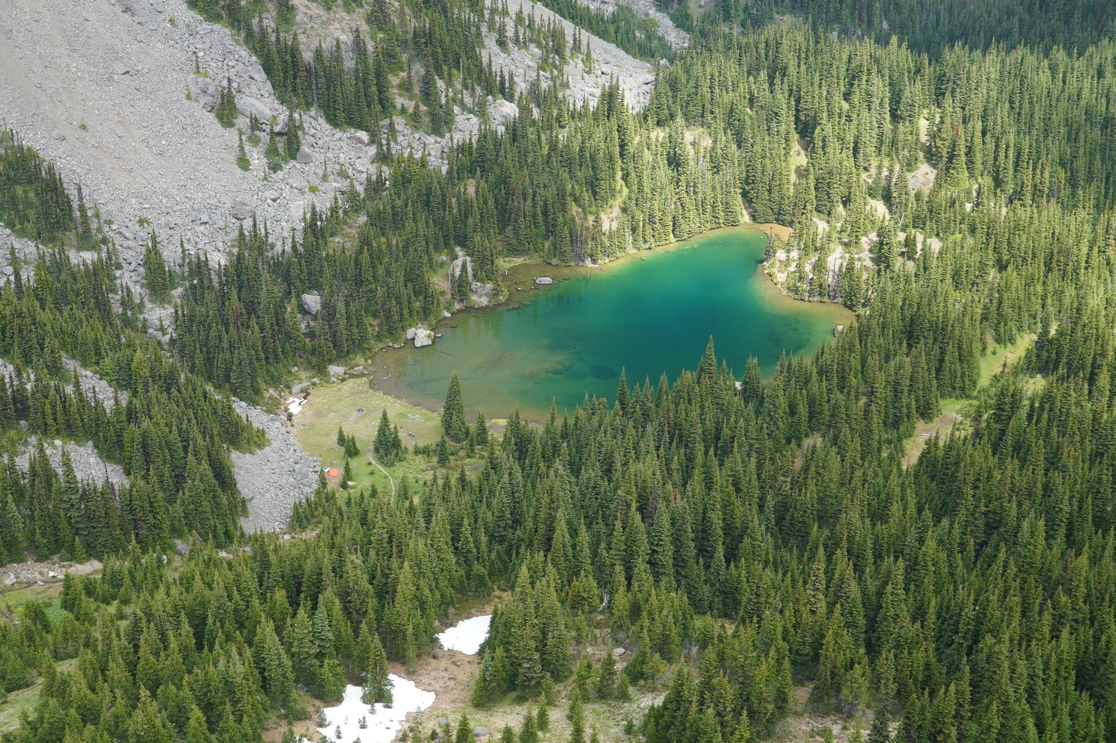
Jim trucked ahead while I gathered a few digital memories. The skinny trail cut across a steep, open slope, carrying us downward about 600 feet in a mile and a half, followed by a 400-foot climb in the next mile to the lake. A few parties were camped there, and a young guy appeared to be learning the art of fly-fishing across the way. I watched a dozen trout swimming indecisively in the clear water.
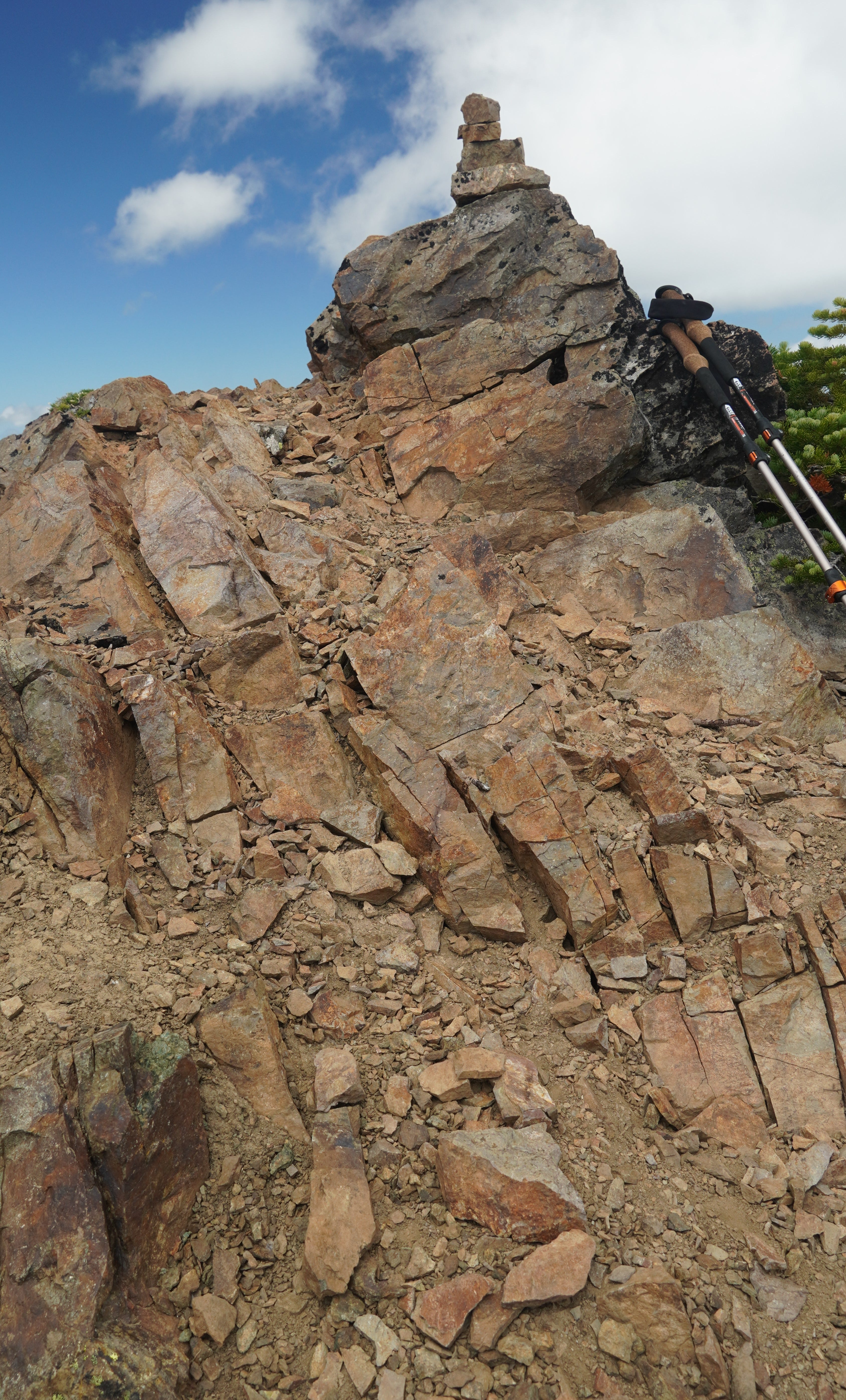
After a short break we found the steep climber’s path heading up to a saddle with a patch of snow 400 feet above the lake. The trail continued leftward and up to the top of Silver Lake Peak, a dandy walk-up. Well, that was easy. Summit #12 was in the books.
From the summit I had an excellent view of the ridge leading west to my next objective, Hawk Peak. I’d read that the route was doable, but it’s a bit more of a scramble among crags and loose rock. There’s a walk-up route on the west side that can be reached from a seldom-hiked trail in the next valley, but I’m approaching from the east. There was also a very steep boot path visible on the north side, but it appeared to lead through much talus rock and was probably non-continuous. Rather than descend to find it, I opted to follow the ridge.
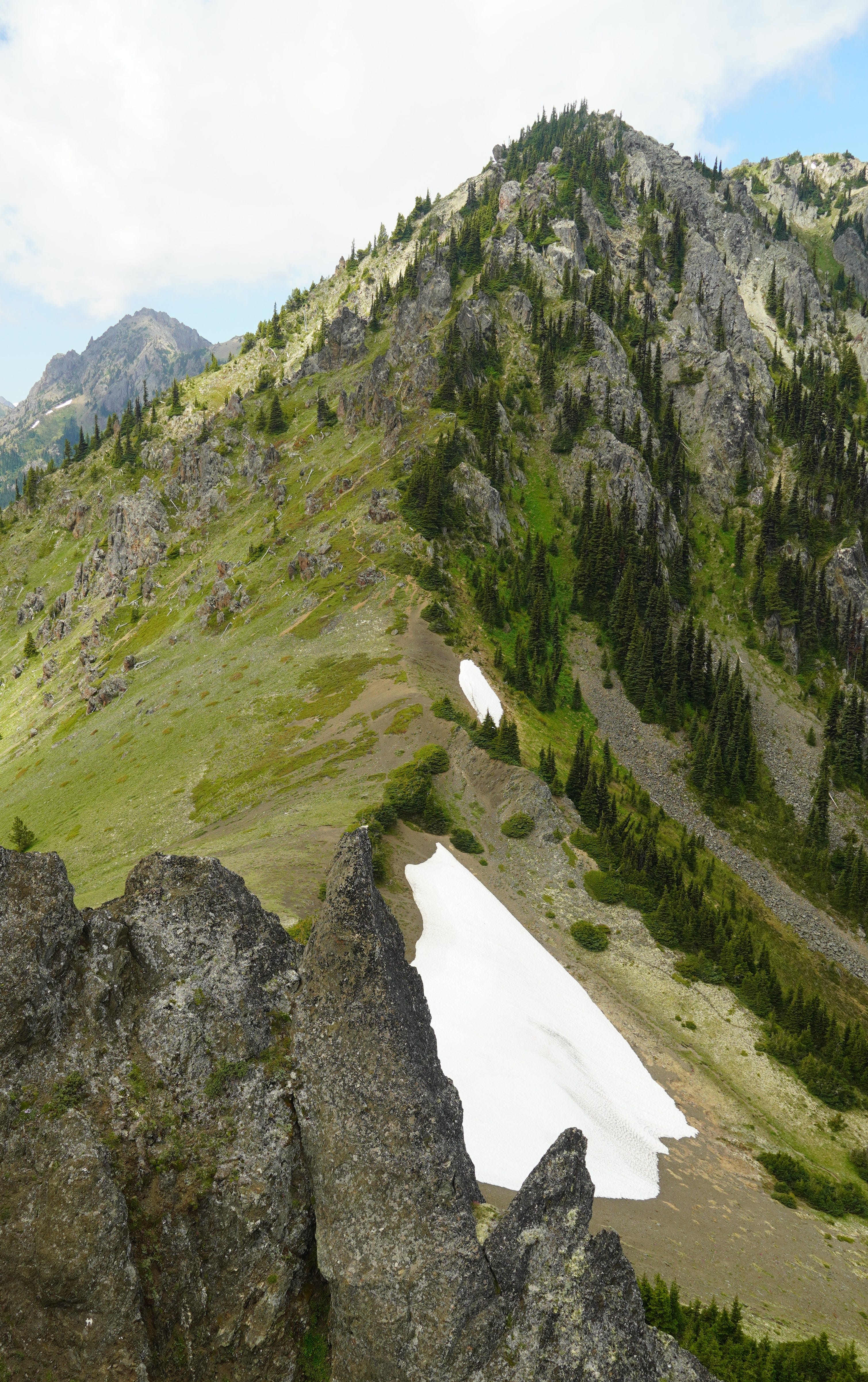
A good boot path lead the way at first, then vanished at a precipice. The terrain was looking rather gnarly up ahead, though I was not far below the ridgeline. I was debating whether to back off or climb a bit higher and hope for easier ground. There was just enough complexity to grab one’s attention, for if I leave the path—my known way out of here—I risk losing it and getting into a pickle later. So, of course, I went up. And fortunately, the ground did fall back a little. Before I knew it, the boot path rematerialized and I was off to the races.
The final stretch ran along the ridge crest and was quite scenic. I hadn’t seen a soul and almost felt like I had the entire Olympic Range to myself. The dominating spire of Mount Constance towered over a swarm of rocky peaks to the south. I could feel her calling me over there, which means I’ll be looking into another backpack over yonder in the coming weeks.
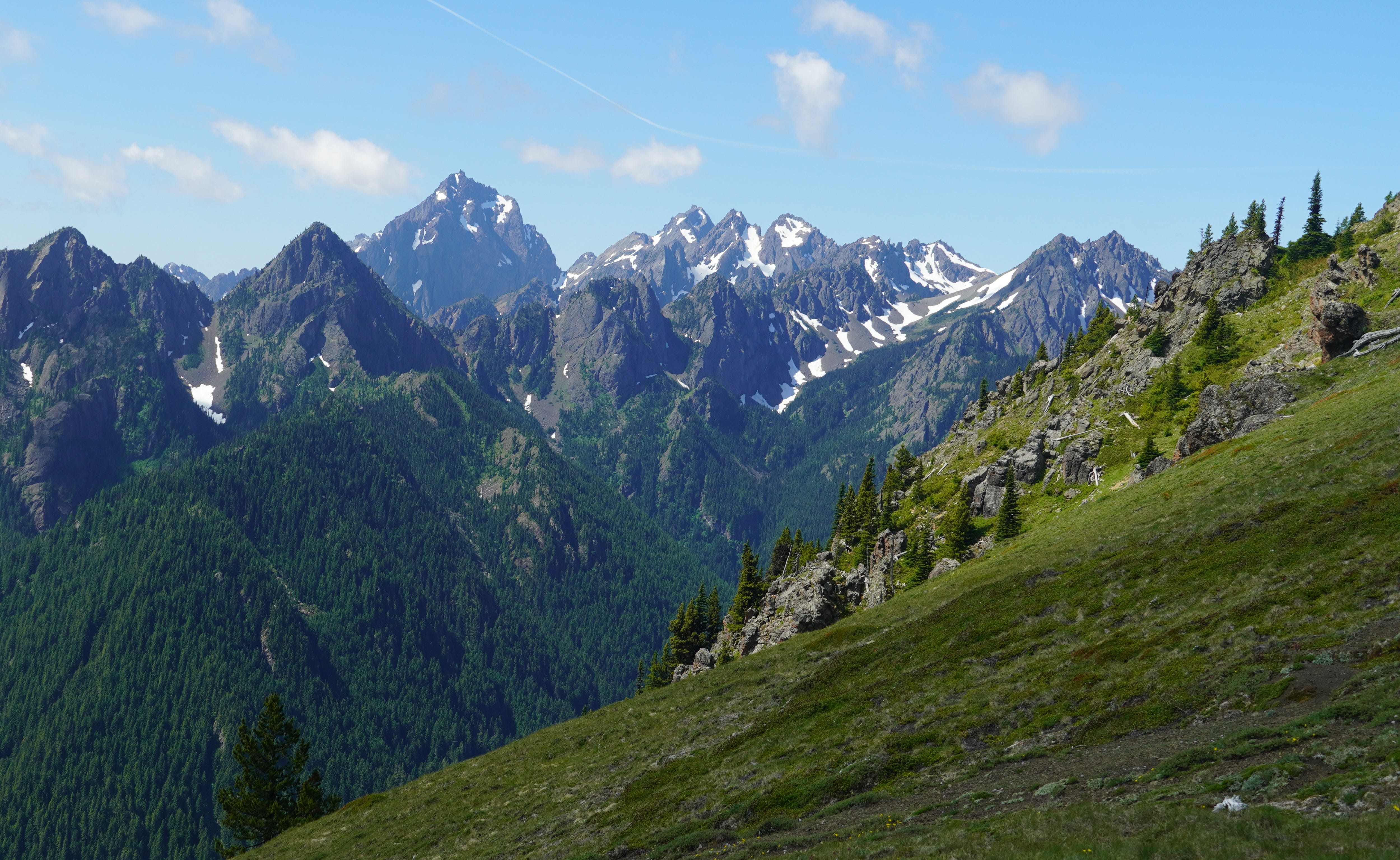
The last few yards to Hawk’s summit crossed a section where the ridge narrowed to a knife-edge, though it was easy walking to the finish. I had an airplane view of Silver Lake Peak to the east, and Silver Lake itself 1,100 feet below. Mount Rainier was bright to the southeast and floating over a thin cloud.
My summit to summit stroll had taken me less than an hour and a half. I’d still call Hawk Peak an easy scramble with a minor route-finding challenge, but it felt like an accomplishment nonetheless. Summit #13 would be my most enjoyable climb yet.
Rather than backtrack, I decided to descend the steep northside trail I’d noticed from the lake. It was steep indeed, though not quite harrowing. When I reached the talus, I expected the path to head for the margins, as these tracks often do. I mistakenly headed right and was soon dropping hand over hand through brush and more talus. Unscathed, I was down soon enough and found Jim at the lake.
When we returned to camp, Kiko had finally arrived from his perch on Mount Townsend. He and Jim were already conspiring another hike, while I set my sights on Day Three and a trek along the ridge above our camp to Welch Peaks.