

We interrupt this program with an unscheduled t-storm . . .
My big idea yesterday was to hike the 17-mile loop up West Cady Ridge to Benchmark Mt. and back down via Pass Creek and the North Fork Skykomish River. I hadn’t done it since about two decades ago. Fresh off a five-day, 45-mile backpack in the High Sierra (a post on that is coming soon), I figured I was in good enough shape for a wee marathon, despite a forecast for thunderstorms “later in the day.”
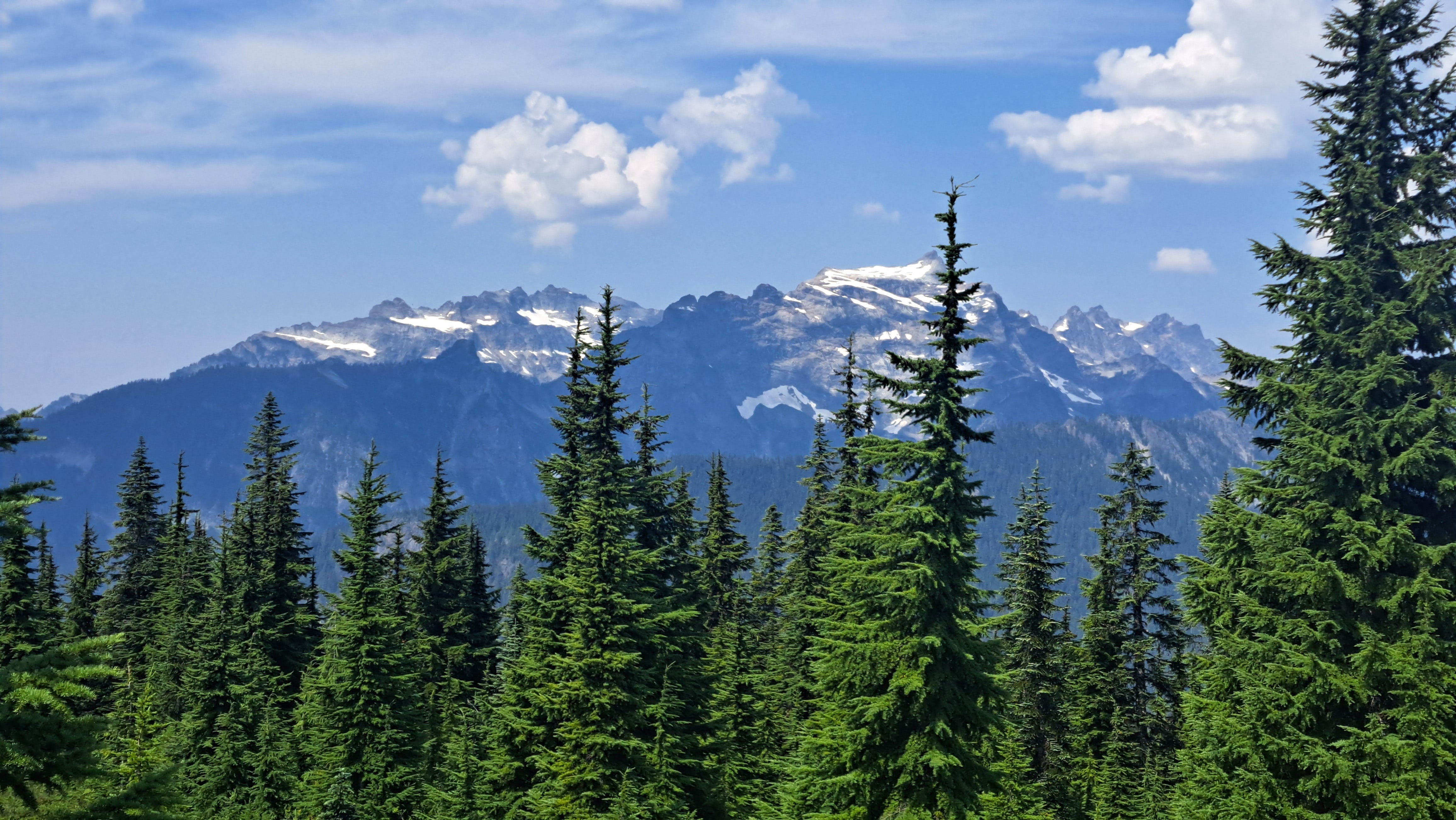
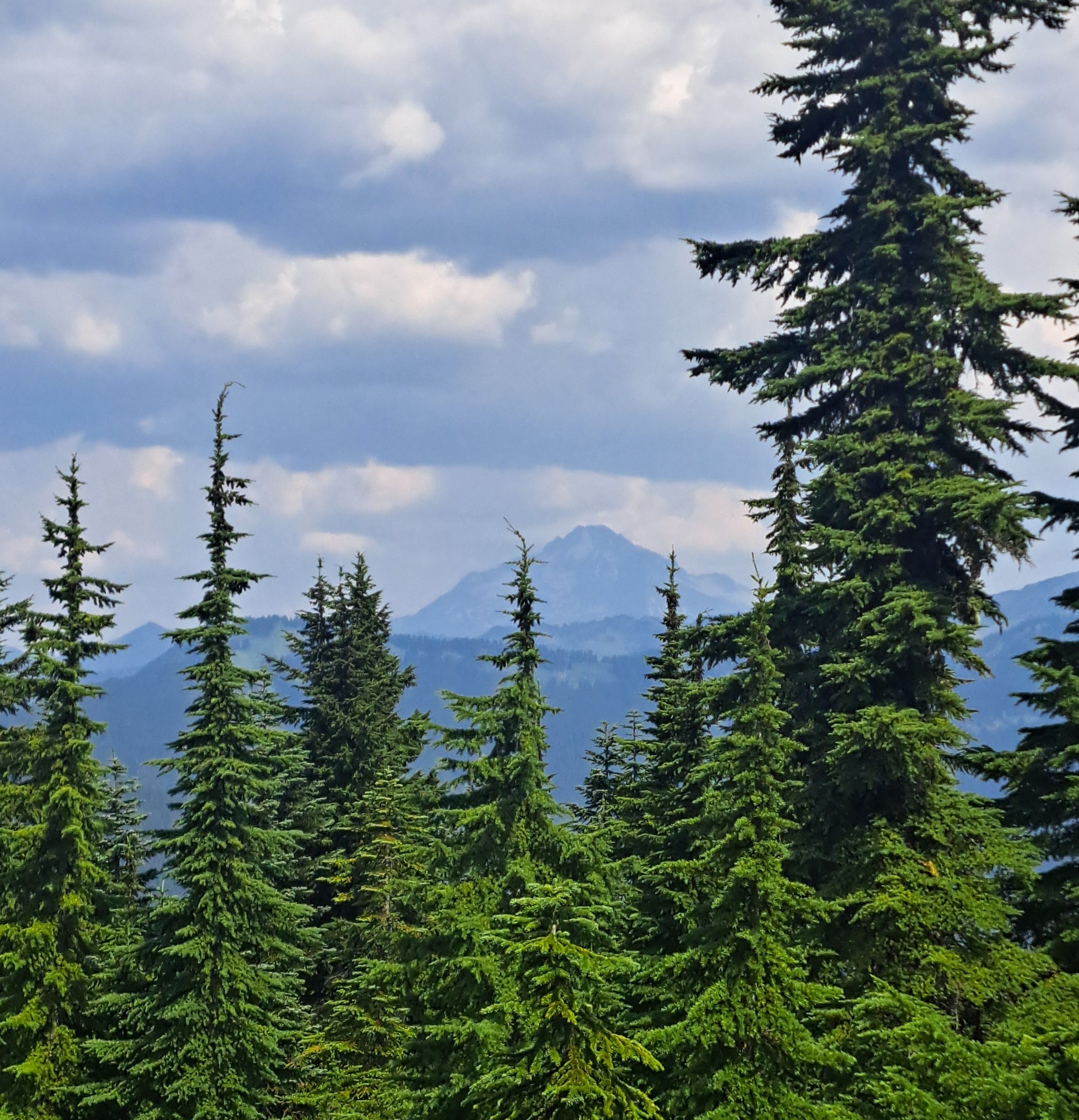
A two-hour hike got me to a high point on the ridge crest with a great view of Columbia, Kyes and Glacier Peaks—with a dark mass of clouds building over yonder. Hmmm, not good. The loop would keep me on the ridge for two hours more, but them there clouds acted like they were in a bigger hurry than I was. Dang it, I didn’t start early enough. I grazed on sweet, plump berries a while and glanced back at the clouds, pondering the options. Or should I say option. By now, there was only one: go back down. I’ve been gambling a bit much with these electrical storms the past couple years, including a very close call on Wheeler Peak at Great Basin NP last fall. I decided I’d better not roll the dice on this one.
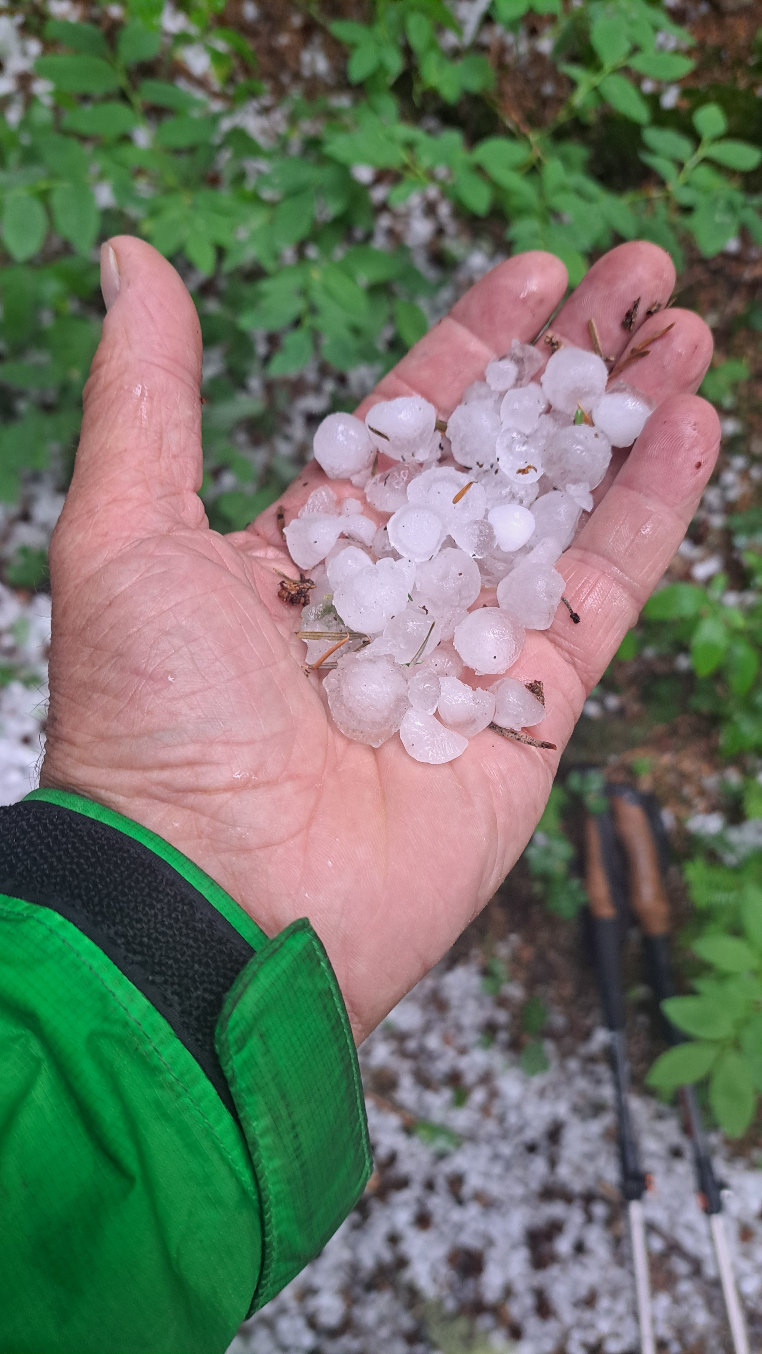
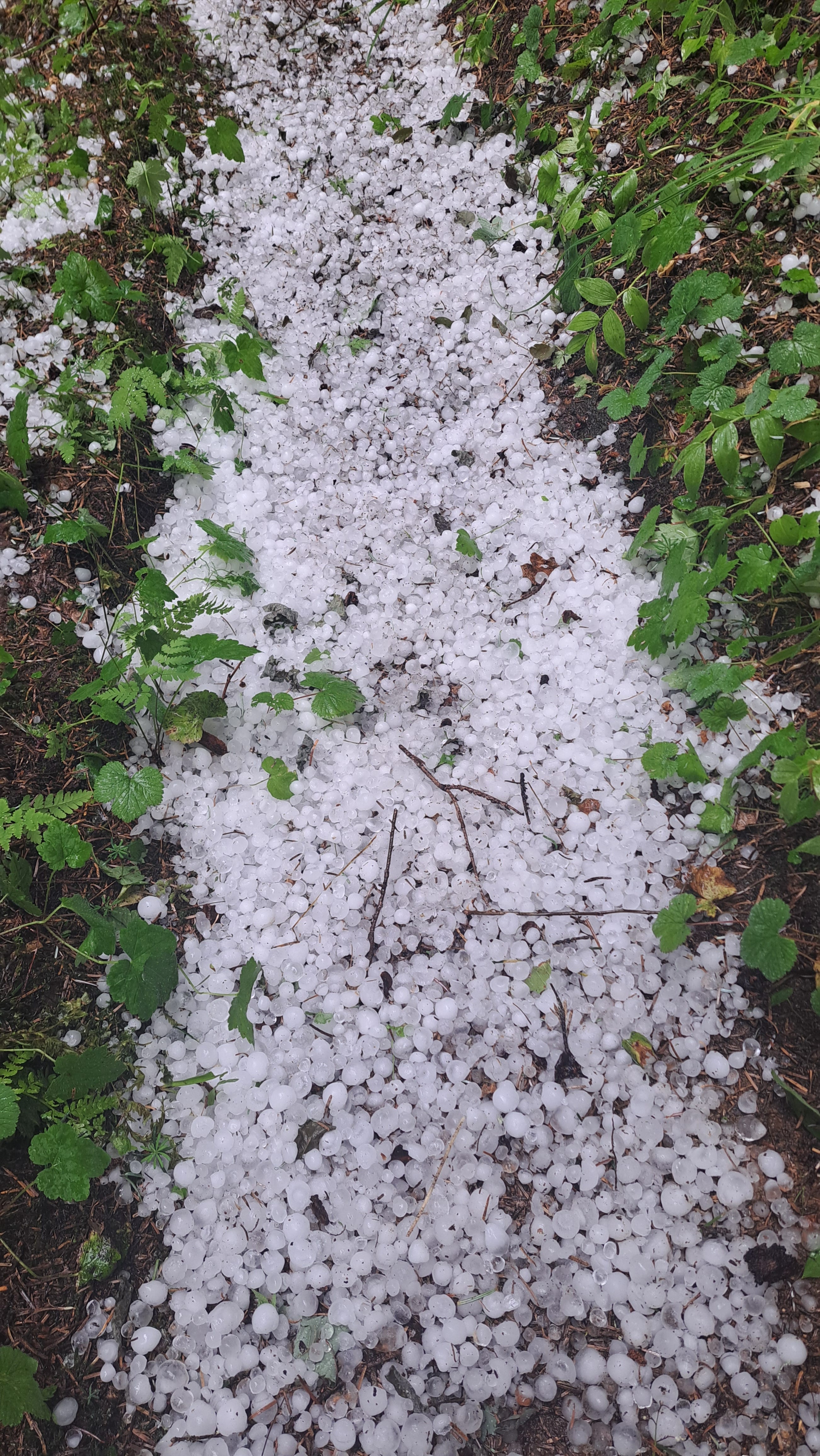
Back at the trailhead with eight miles under my boots, I still had some gumption to run up to Pass Creek and grab a couple of photos for the new edition of my Snohomish County hiking guide. So off I went. What’s another six miles? I was almost there when the sky let loose. First rain, then hail the size of marbles. I forgot my hat and got beaned pretty good a few times, but was happy to be way down here by the river and not way up there in electro-land. Even if it was kinda lonely. I passed just two other hikers all day. Lesson of the hour: if a storm is in the forecast, one should remember one’s hat.
Nice trip! Glad you only got beaned by hail and not lightning, Ken. I'll have to do that one sometime. Love the views!